
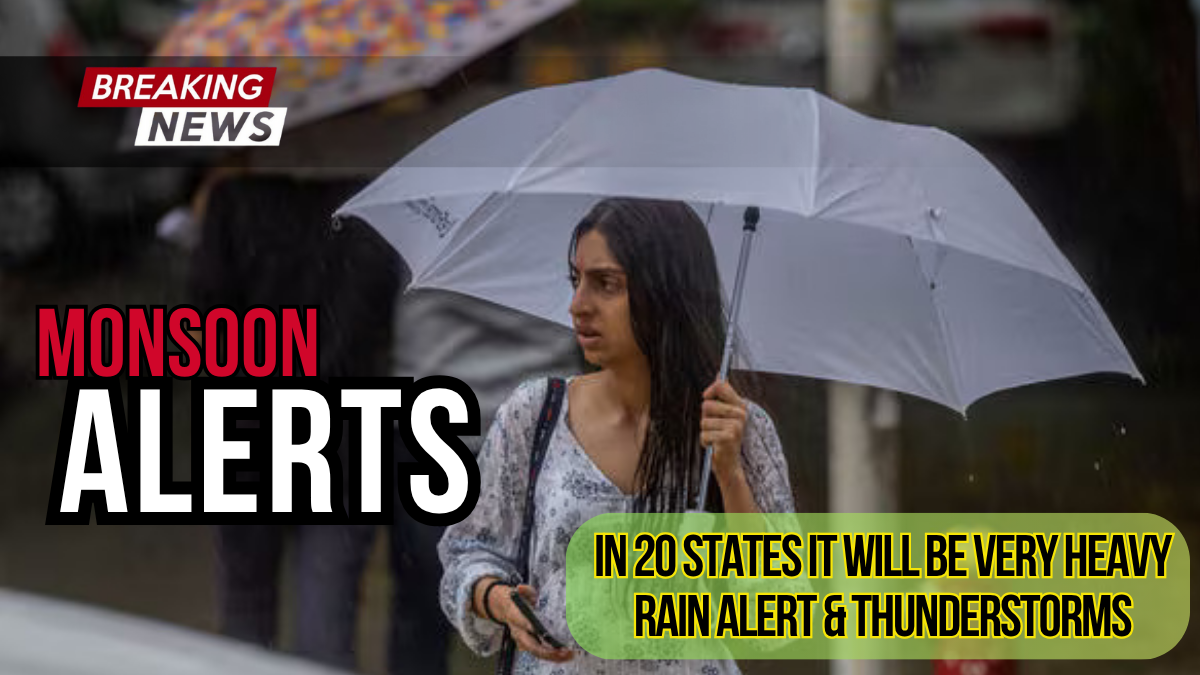
The India Meteorological Department (IMD) has issued extensive weather warnings as monsoon rains intensify across the country. With heavy to very heavy rainfall predicted for multiple states over the next six days, authorities are urging residents to take necessary precautions.
From Delhi-NCR receiving much-needed relief from humidity to southern states bracing for extremely heavy downpours, this monsoon season continues to bring both respite and challenges. Understanding these weather patterns and staying prepared can help you navigate the coming days safely.
Extensive Red and Orange Alerts Issued Nationwide
The IMD has categorized weather warnings across different severity levels, with red alerts indicating the most severe conditions.
Red Alert Areas
Telangana faces the highest risk with a red alert for extremely heavy rainfall on July 22. The state could experience isolated areas receiving over 20 cm of rain in a single day, potentially leading to flash floods and waterlogging in urban areas.
Orange Alert Regions
Several coastal and mountainous regions are under orange alert status from July 22-28:
Coastal Areas:
- Coastal Maharashtra
- Coastal Karnataka
- Coastal Goa
- Konkan region
Himalayan States:
- Jammu and Kashmir
- Himachal Pradesh
- Uttarakhand
These regions should prepare for heavy to very heavy rainfall ranging from 7-20 cm over 24-hour periods.
Yellow Alert States
A broader range of states falls under yellow alert, indicating moderate to heavy rainfall:
- Haryana and Punjab
- Gujarat and Rajasthan (eastern parts)
- Andhra Pradesh and Kerala
- Northeastern states including Assam, Meghalaya, and Tripura
- Madhya Pradesh and Chhattisgarh
Region-Wise Weather Breakdown
Northern Plains and Himalayas
The Western Himalayan region, including Jammu & Kashmir, Himachal Pradesh, and Uttarakhand, will experience continuous heavy rainfall for the next 3-4 days. Adjacent plains in Punjab, Haryana, and parts of Uttar Pradesh are also expected to receive significant precipitation.
Delhi-NCR residents can expect generally cloudy skies with light to moderate rainfall accompanied by thunderstorms through July 23. Maximum temperatures will remain between 31-34°C, providing relief from typical summer heat.
Eastern India Focus
Eastern states including Gangetic West Bengal, Odisha, and Jharkhand should prepare for intensifying conditions from July 23-27. These areas may experience some of the most persistent rainfall during this period.
Southern and Western Coastal Regions
The most prolonged impact will affect southern and western coastal areas. Kerala, Karnataka, coastal Andhra Pradesh, Telangana, Konkan & Goa, central Maharashtra, Vidarbha, and Chhattisgarh face heavy rains continuing for 5-7 days.
Coastal Karnataka and the Konkan region should be particularly vigilant, as these areas often experience the most intense monsoon activity.
Central India Conditions
Madhya Pradesh has already recorded significant rainfall, with an average of 20.5 inches (520 mm) this monsoon season representing a 66% surplus above normal levels. While the intense rainfall has temporarily paused, light showers are expected to continue.
Current Ground Conditions and Impact
Transportation Disruptions
Recent incidents highlight the monsoon’s immediate impact on transportation infrastructure. An Air India flight from Kochi to Mumbai skidded while landing at Mumbai airport due to wet runway conditions, though all passengers and crew were safely evacuated.
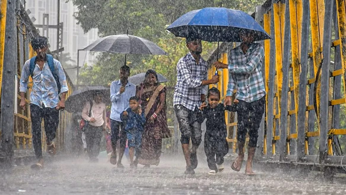
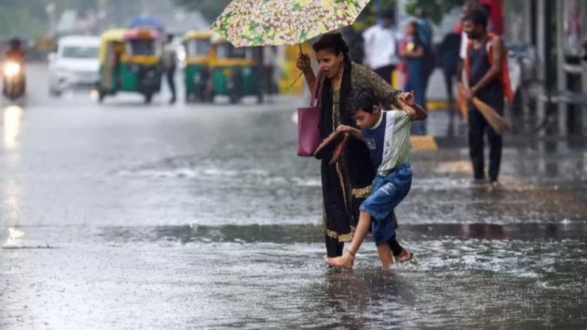
Urban Flooding Concerns
Major cities are already experiencing waterlogging challenges:
- Mumbai’s Andheri subway has been temporarily closed due to severe flooding
- Several areas in the financial capital report water entering ground-floor shops and businesses
- Delhi-NCR roads show signs of waterlogging in low-lying areas
Mountainous Region Hazards
Himalayan states face additional risks beyond heavy rainfall:
- Landslides reported in Himachal Pradesh, particularly in Chamba district
- A newly married couple tragically lost their lives when a boulder fell on their house due to hill instability
- Schools closed in nine sub-divisions across four districts in Himachal Pradesh
Essential Safety Measures During Heavy Monsoon
Urban Area Precautions
Avoid Unnecessary Travel: Stay indoors during peak rainfall hours, typically between late afternoon and early evening.
Monitor Water Levels: Keep track of local waterlogging reports and avoid low-lying areas prone to flooding.
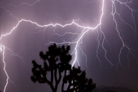
Electrical Safety: Unplug non-essential electrical appliances during thunderstorms and avoid contact with electrical equipment if flooding occurs.
Rural and Mountainous Area Guidelines
Landslide Awareness: Residents in hilly areas should watch for signs of soil instability, unusual water seepage, or cracks in walls and foundations.
River Monitoring: Stay away from riverbanks and avoid crossing swollen streams or rivers, even in vehicles.
Emergency Supplies: Maintain adequate food, water, and medical supplies for at least 72 hours in case of isolation due to road blockages.
Transportation Safety
Flight Operations: Check flight status before heading to airports, as visibility and runway conditions may cause delays or cancellations.
Road Travel: Reduce speed on wet roads, maintain greater following distances, and avoid driving through standing water deeper than six inches.
Public Transport: Allow extra travel time and consider alternative routes, as metro and bus services may experience delays during heavy rainfall periods.
Extended Forecast and Monsoon Patterns
Weekly Outlook
The current weather pattern suggests sustained monsoon activity through the end of July. Most affected regions should expect:
- Continued daily rainfall with varying intensity
- Intermittent breaks in some areas, followed by renewed activity
- Potential for isolated extreme rainfall events in coastal and mountainous regions
Temperature Patterns
Day temperatures across north and central India are ranging between 31°C and 38°C. Coastal cities like Mumbai and Goa remain relatively cooler around 28°C, though humidity levels remain high.
The combination of moderate temperatures and high humidity creates challenging conditions, making indoor air conditioning or adequate ventilation important for comfort and health.
Regional Monsoon Performance
Several states are experiencing above-normal rainfall this season:
- Madhya Pradesh: 66% surplus rainfall
- Eastern regions showing significant improvement in monsoon deficit
- Western coastal areas maintaining consistent seasonal patterns
Stay Informed and Prepared
As monsoon conditions continue evolving rapidly, staying updated with official weather forecasts becomes crucial. The IMD provides regular updates through their official social media channels and weather bulletins.
Local authorities are maintaining close coordination with meteorological services to ensure timely warnings reach affected communities. Emergency response teams remain on standby in high-risk areas, particularly in states under red and orange alerts.
Remember that monsoon weather can change quickly, and conditions may intensify or shift to different regions with little advance notice. Keep emergency contact numbers handy, maintain communication with family members in affected areas, and follow local authority guidance for evacuation or shelter procedures if necessary.
The next few days will be critical for many regions across India. By staying informed and taking appropriate precautions, you can help ensure your safety and that of your community during this active monsoon period.
FAQs About Monsoon Alert 2025
Q. What is a red alert issued by the IMD?
A. A red alert is the highest level of weather warning issued by the India Meteorological Department (IMD). It means that exceptionally heavy rainfall is expected and urgent action is required to protect lives and property. Residents are advised to stay indoors, avoid unnecessary travel, and follow instructions from local authorities.
Q. What precautions should I take during heavy monsoon rains?
A. During heavy monsoon rains, it is crucial to avoid flooded areas and stay away from fast-flowing water. Ensure your home is secure from flood risks, stock up on emergency supplies, and have a plan in place for evacuation if necessary. Keep updated on weather reports and alerts from reliable sources like the IMD.
Q. How often does IMD update its forecasts?
A. The IMD regularly updates its weather forecasts and alerts typically multiple times a day to provide the most accurate and timely information. It’s important to follow these updates through their website, app, or announcements in the media.
Q. What should I do if my area is under an orange alert?
A. An orange alert indicates severe weather conditions expected in your area. You should remain vigilant, limit outdoor activities, and prepare for power outages or potential emergencies. Keep an eye on further updates and advisories from local authorities.
Q. Can I report weather-related emergencies to local authorities?
A. Yes, you should report any weather-related emergencies, such as flooding or landslides, to your local disaster management authorities. Many regions also have dedicated helplines or apps for reporting incidents and seeking assistance.
Click HERE For More.